Geolocate

Dablang topographic map

Click on the map to display elevation.

About this map

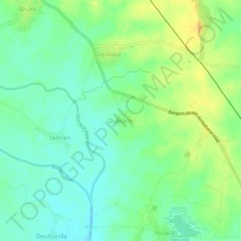
Name: Dablang topographic map, elevation, terrain.

Location: Dablang, Bhatli, Bargarh, Odisha, 768030, India (21.41969 83.53261 21.45969 83.57261)

Average elevation: 620 ft

Minimum elevation: 581 ft

Maximum elevation: 673 ft

Gear up for your next adventure:

🥩Freeze-Dried Meals - Nutritious and lightweight food for remote expeditions
🛏️Cold Weather Sleeping Bag - Warm sleeping bag for cold conditions
🪶Wildlife Field Guides - Learn animal tracking and species ID
🧭Hiking Compass - Precision compass for reliable navigation in the wilderness
🪶Compact Camp Shovel - Folding shovel for campsite tasks

As an Amazon Associate, this site earns from qualifying purchases at no extra cost to you.