Geolocate

CENTRAL topographic map

Click on the map to display elevation.

About this map

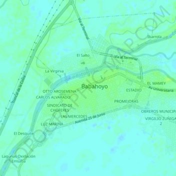
Name: CENTRAL topographic map, elevation, terrain.

Location: CENTRAL, Babahoyo, Los Ríos, EC120150, Ecuador (-1.82131 -79.55531 -1.78131 -79.51531)

Average elevation: 23 ft

Minimum elevation: 10 ft

Maximum elevation: 43 ft

Gear up for your next adventure:

🪶Fire Starter Kit - Reliable fire starter for survival and camping
🛶Inflatable Kayak - Portable kayak for rivers, lakes, and expeditions
🥤Water Filter Bottle - All‑in‑one filter bottle for safe hydration
🏥Hiking First Aid Kits - Comprehensive medical kits for remote trail injuries
🚑Emergency Bivvies - Heat-reflective sleeping bags for survival situations

As an Amazon Associate, this site earns from qualifying purchases at no extra cost to you.