Geolocate

Jatani topographic map

Click on the map to display elevation.

About this map

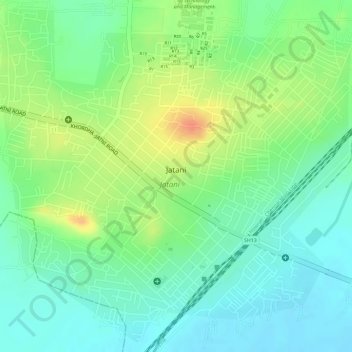
Name: Jatani topographic map, elevation, terrain.

Location: Jatani, Khordha, Odisha, 752050, India (20.14811 85.69046 20.17425 85.71988)

Average elevation: 105 ft

Minimum elevation: 39 ft

Maximum elevation: 203 ft

Gear up for your next adventure:

🛡️Bear Spray Outdoor - Protection in bear country hikes
🪶LED Camping Lantern - Bright lantern for camp lighting
🔥Plasma Lighters - Windproof lighters that work in any weather condition
👟Men's Trail Runners - Lightweight footwear for fast-paced exploration and light hiking
🛌Ultralight Sleeping Bags - Compact down bags for cold nights in the wilderness

As an Amazon Associate, this site earns from qualifying purchases at no extra cost to you.