Geolocate

Rinconada topographic map

Click on the map to display elevation.

About this map

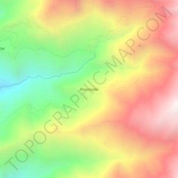
Name: Rinconada topographic map, elevation, terrain.

Location: Rinconada, Ambo, Huánuco, Perú (-10.13782 -76.16877 -10.09782 -76.12877)

Average elevation: 10,715 ft

Minimum elevation: 8,251 ft

Maximum elevation: 13,114 ft

Gear up for your next adventure:

🧭Pro Hiking Compasses - High-accuracy liquid-filled compasses for topographic orientation
🔋Solar Power Banks - Keep your GPS and phone charged in remote wilderness areas
🧭Hiking Compass - Precision compass for reliable navigation in the wilderness
🎒Waterproof Dry Bags - Keep your electronics and maps dry inside your pack
🪵Folding Camp Saw - Compact saw for wood and campsite work

As an Amazon Associate, this site earns from qualifying purchases at no extra cost to you.