
Thank you for supporting this site ❤️
Make a donation
Make a donation
Gear up for your next adventure:
As an Amazon Associate, this site earns from qualifying purchases at no extra cost to you.
Selishte topographic map
Click on the map to display elevation.
Thank you for supporting this site ❤️
Make a donation
Make a donation
Gear up for your next adventure:
As an Amazon Associate, this site earns from qualifying purchases at no extra cost to you.
About this map
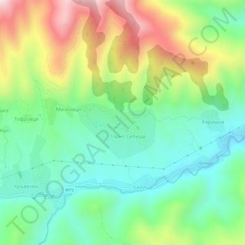
Name: Selishte topographic map, elevation, terrain.
Location: Selishte, Sevlievo, Gabrovo, 5462, Bulgaria (42.83640 25.01078 42.87640 25.05078)
Average elevation: 2,034 ft
Minimum elevation: 1,273 ft
Maximum elevation: 3,428 ft
Thank you for supporting this site ❤️
Make a donation
Make a donation
Gear up for your next adventure:
As an Amazon Associate, this site earns from qualifying purchases at no extra cost to you.