
Kennedy topographic map
Click on the map to display elevation.
About this map
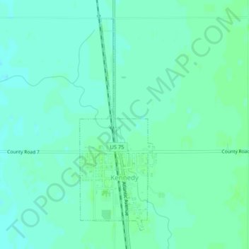
Name: Kennedy topographic map, elevation, terrain.
Location: Kennedy, Kittson County, Minnesota, United States (48.63619 -96.91632 48.65913 -96.90434)
Average elevation: 823 ft
Minimum elevation: 810 ft
Maximum elevation: 837 ft
Kittson County trails, hiking, mountain biking, running and outdoor activities