
Thank you for supporting this site ❤️
Make a donation
Make a donation
Gear up for your next adventure:
As an Amazon Associate, this site earns from qualifying purchases at no extra cost to you.
Cobriza topographic map
Click on the map to display elevation.
Thank you for supporting this site ❤️
Make a donation
Make a donation
Gear up for your next adventure:
As an Amazon Associate, this site earns from qualifying purchases at no extra cost to you.
About this map
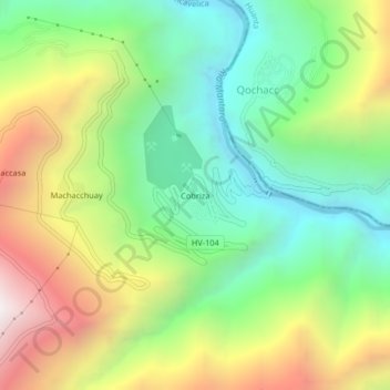
Name: Cobriza topographic map, elevation, terrain.
Location: Cobriza, San Pedro de Coris, Churcampa, Huancavelica, Perú (-12.61508 -74.39107 -12.57508 -74.35107)
Average elevation: 8,428 ft
Minimum elevation: 6,250 ft
Maximum elevation: 11,827 ft
Thank you for supporting this site ❤️
Make a donation
Make a donation
Gear up for your next adventure:
As an Amazon Associate, this site earns from qualifying purchases at no extra cost to you.