
Thank you for supporting this site ❤️
Make a donation
Make a donation
Gear up for your next adventure:
As an Amazon Associate, this site earns from qualifying purchases at no extra cost to you.
Derya Boyi topographic map
Click on the map to display elevation.
Thank you for supporting this site ❤️
Make a donation
Make a donation
Gear up for your next adventure:
As an Amazon Associate, this site earns from qualifying purchases at no extra cost to you.
About this map
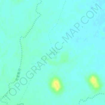
Name: Derya Boyi topographic map, elevation, terrain.
Location: Derya Boyi, Keriya County, Hotan Prefecture, Xinjiang, China (38.35805 81.86316 38.36140 81.86910)
Average elevation: 3,894 ft
Minimum elevation: 3,878 ft
Maximum elevation: 3,950 ft
Thank you for supporting this site ❤️
Make a donation
Make a donation
Gear up for your next adventure:
As an Amazon Associate, this site earns from qualifying purchases at no extra cost to you.