
Tamora topographic map
Interactive map
Click on the map to display elevation.
About this map
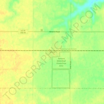
Name: Tamora topographic map, elevation, terrain.
Location: Tamora, Seward County, Nebraska, United States (40.87390 -97.24504 40.91390 -97.20504)
Average elevation: 1,555 ft
Minimum elevation: 1,503 ft
Maximum elevation: 1,575 ft