
North Bend topographic map
Interactive map
Click on the map to display elevation.
About this map
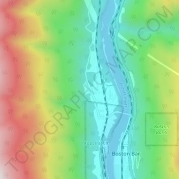
Name: North Bend topographic map, elevation, terrain.
Average elevation: 1,667 ft
Minimum elevation: 312 ft
Maximum elevation: 4,298 ft
Other topographic maps
Click on a map to view its topography, its elevation and its terrain.
Boston Bar
Canada > British Columbia > Fraser Valley Regional District > Area A (Boston Bar/North Bend/Canyon Alpine)
Boston Bar, Area A (Boston Bar/North Bend/Canyon Alpine), Fraser Valley Regional District, British Columbia, V0K 1C0, Canada
Average elevation: 1,627 ft
Canyon Alpine
Canada > British Columbia > Fraser Valley Regional District > Area A (Boston Bar/North Bend/Canyon Alpine)
Canyon Alpine, Area A (Boston Bar/North Bend/Canyon Alpine), Fraser Valley Regional District, British Columbia, Canada
Average elevation: 1,545 ft