
Make a donation
Gear up for your next adventure:
As an Amazon Associate, this site earns from qualifying purchases at no extra cost to you.
Gurla Mandhata topographic map
Click on the map to display elevation.
Make a donation
Gear up for your next adventure:
As an Amazon Associate, this site earns from qualifying purchases at no extra cost to you.
Gurla Mandhata
In 1905, T. G. Longstaff made an attempt on the west face of Gurla Mandhata with two alpine guides and six porters. After suffering a 900 feet (270 m) fall during an avalanche, they turned back around 7,000 m (23,000 ft) upon finding fresh snow was falling too heavily to reach the summit with their provisions. This was a strong achievement for the time, especially for such a small group; at that time no summit of over 7,000 m had yet been climbed and Longstaff's height represented a world altitude record.
Make a donation
Gear up for your next adventure:
As an Amazon Associate, this site earns from qualifying purchases at no extra cost to you.
About this map
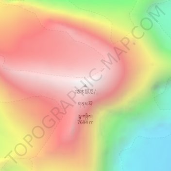
Name: Gurla Mandhata topographic map, elevation, terrain.
Average elevation: 22,680 ft
Minimum elevation: 19,199 ft
Maximum elevation: 25,184 ft
Make a donation
Gear up for your next adventure:
As an Amazon Associate, this site earns from qualifying purchases at no extra cost to you.