
Make a donation
Gear up for your next adventure:
As an Amazon Associate, this site earns from qualifying purchases at no extra cost to you.
Kalmit topographic map
Click on the map to display elevation.
Make a donation
Gear up for your next adventure:
As an Amazon Associate, this site earns from qualifying purchases at no extra cost to you.
Kalmit
Die Kalmit [ˈkalmɪt], regional auch der Kalmit, seltener auch Große Kalmit genannt, bei Maikammer im rheinland-pfälzischen Landkreis Südliche Weinstraße ist mit einer Höhe von 673,64 m ü. NHN der höchste Berg des Pfälzerwalds und nach dem Donnersberg der zweithöchste Gipfel der Region Pfalz. Der Berg liegt in der Haardt, dem Ostrand des Pfälzerwalds. Über den Namensursprung gibt es unterschiedliche Theorien, die beispielsweise eine Deutung als kahler Berg oder hoher Berg bzw. Gipfelberg zulassen.
Make a donation
Gear up for your next adventure:
As an Amazon Associate, this site earns from qualifying purchases at no extra cost to you.
About this map
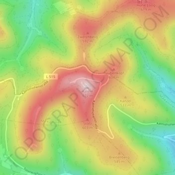
Name: Kalmit topographic map, elevation, terrain.
Average elevation: 1,581 ft
Minimum elevation: 938 ft
Maximum elevation: 2,201 ft
Make a donation
Gear up for your next adventure:
As an Amazon Associate, this site earns from qualifying purchases at no extra cost to you.