
Make a donation
Gear up for your next adventure:
As an Amazon Associate, this site earns from qualifying purchases at no extra cost to you.
Anzère topographic map
Click on the map to display elevation.
Make a donation
Gear up for your next adventure:
As an Amazon Associate, this site earns from qualifying purchases at no extra cost to you.
Anzère
Anzère ist ein in den 1960er Jahren erbautes Feriendorf auf dem Gebiet der Gemeinde Ayent, im Kanton Wallis in der Schweiz. Anzère liegt auf einem Sonnenplateau auf 1500 Meter Höhe in der Nähe von Sion und Crans-Montana.
Make a donation
Gear up for your next adventure:
As an Amazon Associate, this site earns from qualifying purchases at no extra cost to you.
About this map
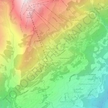
Name: Anzère topographic map, elevation, terrain.
Location: Anzère, Ayent, Ering, Wallis, 1972, Schweiz (46.27707 7.37895 46.31707 7.41895)
Average elevation: 4,898 ft
Minimum elevation: 2,270 ft
Maximum elevation: 8,219 ft
Make a donation
Gear up for your next adventure:
As an Amazon Associate, this site earns from qualifying purchases at no extra cost to you.