
太和桥 topographic map
Interactive map
Click on the map to display elevation.
About this map
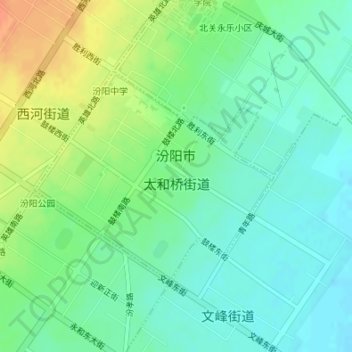
Name: 太和桥 topographic map, elevation, terrain.
Location: 太和桥, 汾阳市, 吕梁市, 山西省, 中国 (37.25854 111.76937 37.27468 111.79243)
Average elevation: 2,474 ft
Minimum elevation: 2,425 ft
Maximum elevation: 2,562 ft
Other topographic maps
Click on a map to view its topography, its elevation and its terrain.