
峪道河镇 topographic map
Interactive map
Click on the map to display elevation.
About this map
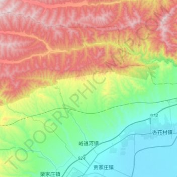
Name: 峪道河镇 topographic map, elevation, terrain.
Location: 峪道河镇, 汾阳市, 吕梁市, 山西省, 中国 (37.28785 111.58169 37.48350 111.84360)
Average elevation: 3,871 ft
Minimum elevation: 2,405 ft
Maximum elevation: 6,204 ft
Other topographic maps
Click on a map to view its topography, its elevation and its terrain.