Geolocate

Milbank topographic map

Click on the map to display elevation.

About this map

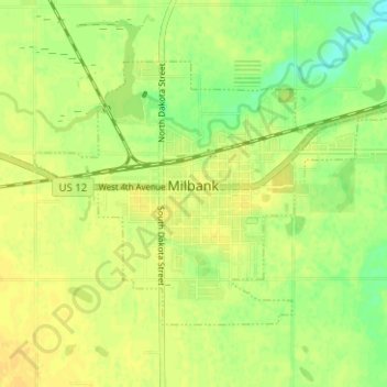
Name: Milbank topographic map, elevation, terrain.

Location: Milbank, Grant County, South Dakota, United States (45.20318 -96.66136 45.23330 -96.59868)

Average elevation: 1,148 ft

Minimum elevation: 1,102 ft

Maximum elevation: 1,171 ft

Grant County trails, hiking, mountain biking, running and outdoor activities

Gear up for your next adventure:

🗺️Topographic Maps - Detailed topo maps for hiking, exploring and outdoor navigation
🗃️Trail First Aid Kit - Essential kit for outdoor injuries and emergencies
🛶Inflatable Kayak - Portable kayak for rivers, lakes, and expeditions
🌧️Backpack Rain Cover - Keep gear dry in wet weather
Solar GPS Watches - Advanced multisport watches with built-in topographic maps

As an Amazon Associate, this site earns from qualifying purchases at no extra cost to you.