
隆化镇 topographic map
Interactive map
Click on the map to display elevation.
About this map
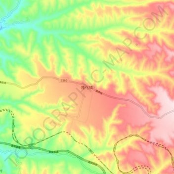
Name: 隆化镇 topographic map, elevation, terrain.
Location: 隆化镇, 翼城县, 临汾市, 山西省, 中国 (35.71839 111.87040 35.79839 111.95040)
Average elevation: 3,117 ft
Minimum elevation: 2,402 ft
Maximum elevation: 3,780 ft
Other topographic maps
Click on a map to view its topography, its elevation and its terrain.