
Tecolote Peak topographic map
Interactive map
Click on the map to display elevation.
About this map
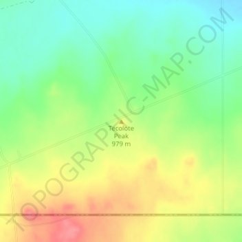
Name: Tecolote Peak topographic map, elevation, terrain.
Location: Tecolote Peak, Eddy County, New Mexico, United States (32.01035 -104.16221 32.01045 -104.16211)
Average elevation: 3,176 ft
Minimum elevation: 3,061 ft
Maximum elevation: 3,320 ft
Other topographic maps
Click on a map to view its topography, its elevation and its terrain.
Carlsbad
United States > New Mexico > Eddy County
Carlsbad, Eddy County, New Mexico, 88220, United States
Average elevation: 3,225 ft
Carlsbad Cavern
United States > New Mexico > Eddy County
Carlsbad Cavern, Natural Entrance Path, Eddy County, New Mexico, United States
Average elevation: 4,180 ft