
毛坝乡 topographic map
Interactive map
Click on the map to display elevation.
About this map
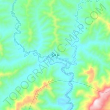
Name: 毛坝乡 topographic map, elevation, terrain.
Location: 毛坝乡, 利川市, 恩施土家族苗族自治州, 湖北省, 中国 (29.98351 109.00476 30.06351 109.08476)
Average elevation: 2,874 ft
Minimum elevation: 2,136 ft
Maximum elevation: 5,371 ft
Other topographic maps
Click on a map to view its topography, its elevation and its terrain.