
康苏镇 topographic map
Interactive map
Click on the map to display elevation.
About this map
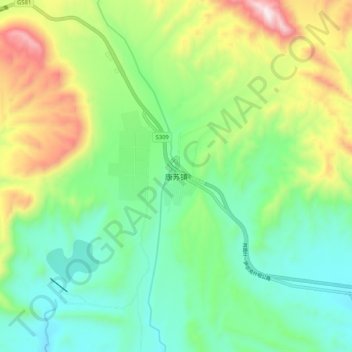
Name: 康苏镇 topographic map, elevation, terrain.
Location: 康苏镇, 乌恰县, 克孜勒苏柯尔克孜自治州, 新疆维吾尔自治区, 中国 (39.68605 74.98552 39.76605 75.06552)
Average elevation: 7,733 ft
Minimum elevation: 6,903 ft
Maximum elevation: 9,469 ft
Other topographic maps
Click on a map to view its topography, its elevation and its terrain.