
風順堂區 topographic map
Interactive map
Click on the map to display elevation.
About this map
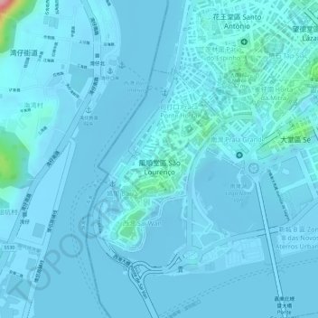
Name: 風順堂區 topographic map, elevation, terrain.
Location: 風順堂區, 澳門市, 澳門, 中国 (22.18147 113.52823 22.19685 113.54096)
Average elevation: 33 ft
Minimum elevation: -23 ft
Maximum elevation: 522 ft
Other topographic maps
Click on a map to view its topography, its elevation and its terrain.