
花王堂區 topographic map
Interactive map
Click on the map to display elevation.
About this map
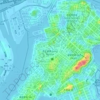
Name: 花王堂區 topographic map, elevation, terrain.
Location: 花王堂區, 澳門市, 澳門, 中国 (22.19516 113.53420 22.20804 113.55038)
Average elevation: 46 ft
Minimum elevation: -30 ft
Maximum elevation: 266 ft
Other topographic maps
Click on a map to view its topography, its elevation and its terrain.