
北景乡 topographic map
Interactive map
Click on the map to display elevation.
About this map
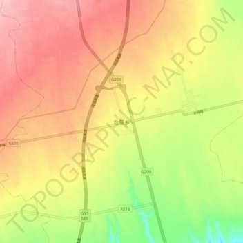
Name: 北景乡 topographic map, elevation, terrain.
Location: 北景乡, 临猗县, 运城市, 山西省, 中国 (35.17039 110.69438 35.25039 110.77438)
Average elevation: 1,732 ft
Minimum elevation: 1,470 ft
Maximum elevation: 1,926 ft
Other topographic maps
Click on a map to view its topography, its elevation and its terrain.