
卓里工贸区 topographic map
Interactive map
Click on the map to display elevation.
About this map
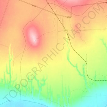
Name: 卓里工贸区 topographic map, elevation, terrain.
Location: 卓里工贸区, 临猗县, 运城市, 山西省, 中国 (35.10843 110.57893 35.20483 110.66598)
Average elevation: 1,667 ft
Minimum elevation: 1,312 ft
Maximum elevation: 1,995 ft
Other topographic maps
Click on a map to view its topography, its elevation and its terrain.