
Thank you for supporting this site ❤️
Make a donation
Make a donation
Gear up for your next adventure:
As an Amazon Associate, this site earns from qualifying purchases at no extra cost to you.
McArthur topographic map
Click on the map to display elevation.
Thank you for supporting this site ❤️
Make a donation
Make a donation
Gear up for your next adventure:
As an Amazon Associate, this site earns from qualifying purchases at no extra cost to you.
About this map
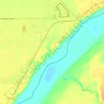
Name: McArthur topographic map, elevation, terrain.
Location: McArthur, Shasta County, California, 96056, United States (41.02435 -121.42207 41.05666 -121.39328)
Average elevation: 3,294 ft
Minimum elevation: 3,225 ft
Maximum elevation: 3,353 ft
Shasta County trails, hiking, mountain biking, running and outdoor activities
Thank you for supporting this site ❤️
Make a donation
Make a donation
Gear up for your next adventure:
As an Amazon Associate, this site earns from qualifying purchases at no extra cost to you.