Geolocate

Barangay II topographic map

Click on the map to display elevation.

About this map

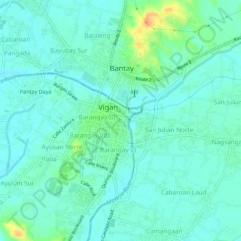
Name: Barangay II topographic map, elevation, terrain.

Location: Barangay II, Ilocos Sur, Ilocos Region, 2700, Philippines (17.55330 120.36946 17.59330 120.40946)

Average elevation: 33 ft

Minimum elevation: 3 ft

Maximum elevation: 118 ft

Other topographic maps

Click on a map to view its topography, its elevation and its terrain.

Bessang Pass

Philippines > Ilocos Sur

Average elevation: 4,518 ft

Gear up for your next adventure:

🌡️Portable Weather Meter - Track weather conditions on the trail
❄️Traction Cleats - Prevent slips on icy trails during winter hikes
🍳Camping Cook Set - Complete cookware for outdoor meals
🌡️Handheld Weather Meters - Measure wind, temp, and pressure for safe mountain travel
🔦LED Headlamp - Bright and durable LED headlamp for night navigation

As an Amazon Associate, this site earns from qualifying purchases at no extra cost to you.