
大河镇 topographic map
Interactive map
Click on the map to display elevation.
About this map
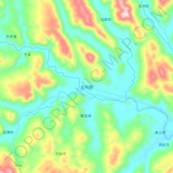
Name: 大河镇 topographic map, elevation, terrain.
Location: 大河镇, 来凤县, 恩施土家族苗族自治州, 湖北省, 中国 (29.39130 109.13676 29.47130 109.21676)
Average elevation: 2,146 ft
Minimum elevation: 1,644 ft
Maximum elevation: 3,219 ft
Other topographic maps
Click on a map to view its topography, its elevation and its terrain.