
Thank you for supporting this site ❤️
Make a donation
Make a donation
Gear up for your next adventure:
As an Amazon Associate, this site earns from qualifying purchases at no extra cost to you.
Kg Air Panas topographic map
Click on the map to display elevation.
Thank you for supporting this site ❤️
Make a donation
Make a donation
Gear up for your next adventure:
As an Amazon Associate, this site earns from qualifying purchases at no extra cost to you.
About this map
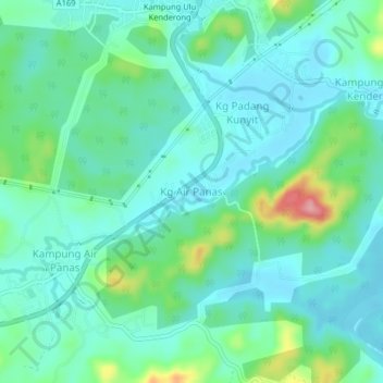
Name: Kg Air Panas topographic map, elevation, terrain.
Location: Kg Air Panas, Hulu Perak District, Perak, 33300, Malaysia (5.38613 101.10643 5.42613 101.14643)
Average elevation: 463 ft
Minimum elevation: 364 ft
Maximum elevation: 797 ft
Thank you for supporting this site ❤️
Make a donation
Make a donation
Gear up for your next adventure:
As an Amazon Associate, this site earns from qualifying purchases at no extra cost to you.