Geolocate

McDonalds topographic map

Click on the map to display elevation.

About this map

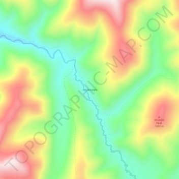
Name: McDonalds topographic map, elevation, terrain.

Location: McDonalds, Shoshone County, Idaho, United States (47.01436 -115.17236 47.05436 -115.13236)

Average elevation: 5,551 ft

Minimum elevation: 4,833 ft

Maximum elevation: 6,467 ft

Shoshone County trails, hiking, mountain biking, running and outdoor activities

Gear up for your next adventure:

📖Nature Tracking Books - Learn to track wildlife and terrain
🛏️Cold Weather Sleeping Bag - Warm sleeping bag for cold conditions
🌡️Handheld Weather Meters - Measure wind, temp, and pressure for safe mountain travel
🔥Camping Stove - Portable stove for camping and backcountry cooking
🧭GPS Watch Accessories - Bands and chargers for GPS watches

As an Amazon Associate, this site earns from qualifying purchases at no extra cost to you.