
Oak Ridge topographic map
Click on the map to display elevation.
About this map
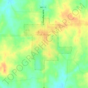
Name: Oak Ridge topographic map, elevation, terrain.
Location: Oak Ridge, Cape Girardeau County, Missouri, United States (37.49019 -89.73762 37.50630 -89.71891)
Average elevation: 564 ft
Minimum elevation: 499 ft
Maximum elevation: 627 ft
Cape Girardeau County trails, hiking, mountain biking, running and outdoor activities