
Thank you for supporting this site ❤️
Make a donation
Make a donation
Gear up for your next adventure:
As an Amazon Associate, this site earns from qualifying purchases at no extra cost to you.
Morinda topographic map
Click on the map to display elevation.
Thank you for supporting this site ❤️
Make a donation
Make a donation
Gear up for your next adventure:
As an Amazon Associate, this site earns from qualifying purchases at no extra cost to you.
About this map
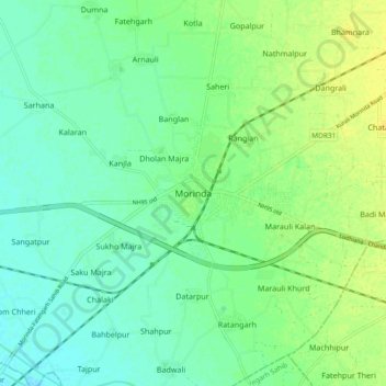
Name: Morinda topographic map, elevation, terrain.
Location: Morinda, Morinda Tahsil, Rupnagar, Punjab, 140101, India (30.75085 76.45845 30.83085 76.53845)
Average elevation: 932 ft
Minimum elevation: 902 ft
Maximum elevation: 968 ft
Thank you for supporting this site ❤️
Make a donation
Make a donation
Gear up for your next adventure:
As an Amazon Associate, this site earns from qualifying purchases at no extra cost to you.