Geolocate

Eastend topographic map

Click on the map to display elevation.

About this map

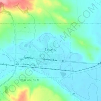
Name: Eastend topographic map, elevation, terrain.

Location: Eastend, Division No. 4, Saskatchewan, S0N 0T0, Canada (49.50902 -108.83942 49.52358 -108.80860)

Average elevation: 3,061 ft

Minimum elevation: 2,976 ft

Maximum elevation: 3,363 ft

Other topographic maps

Click on a map to view its topography, its elevation and its terrain.

Simmie

Canada > Saskatchewan > Division No. 4

Average elevation: 2,927 ft

Gear up for your next adventure:

GPS Sports Watch - GPS watch for running, hiking and training
🔥Camping Stove - Portable stove for camping and backcountry cooking
🛰️Handheld GPS Units - Professional satellite navigators for precise backcountry mapping
🍳Camping Cook Set - Complete cookware for outdoor meals
📶Vehicle Signal Boosters - Improve reception in rural areas while driving to trailheads

As an Amazon Associate, this site earns from qualifying purchases at no extra cost to you.