
Thank you for supporting this site ❤️
Make a donation
Make a donation
Gear up for your next adventure:
As an Amazon Associate, this site earns from qualifying purchases at no extra cost to you.
Paurito topographic map
Click on the map to display elevation.
Thank you for supporting this site ❤️
Make a donation
Make a donation
Gear up for your next adventure:
As an Amazon Associate, this site earns from qualifying purchases at no extra cost to you.
About this map
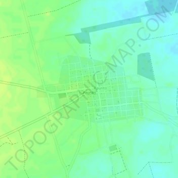
Name: Paurito topographic map, elevation, terrain.
Location: Paurito, Provincia Andrés Ibáñez, Santa Cruz, Bolivia (-17.88563 -62.95181 -17.87524 -62.93475)
Average elevation: 1,145 ft
Minimum elevation: 1,115 ft
Maximum elevation: 1,165 ft
Thank you for supporting this site ❤️
Make a donation
Make a donation
Gear up for your next adventure:
As an Amazon Associate, this site earns from qualifying purchases at no extra cost to you.