
Yuxi topographic map
Click on the map to display elevation.
Yuxi
Tempered by the low latitude and moderate elevation, Yuxi has a mild subtropical highland climate (Köppen Cwb), with short, mild, dry winters, and warm, rainy summers. Frost may occur in winter but the days still generally warm up to around 17 °C (63 °F). During summer, a majority of the days features some rainfall, and daytime temperatures rise to 26 °C (79 °F). A great majority of the year's rainfall occurs from June to October.
About this map
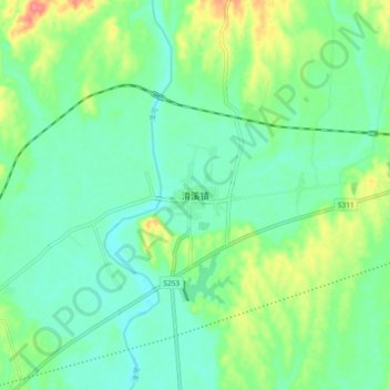
Name: Yuxi topographic map, elevation, terrain.
Location: Yuxi, Yichang, Hubei, China (30.87829 111.88788 30.95829 111.96788)
Average elevation: 217 ft
Minimum elevation: 148 ft
Maximum elevation: 381 ft