
Make a donation
Gear up for your next adventure:
As an Amazon Associate, this site earns from qualifying purchases at no extra cost to you.
Goat Island topographic map
Click on the map to display elevation.
Make a donation
Gear up for your next adventure:
As an Amazon Associate, this site earns from qualifying purchases at no extra cost to you.
Goat Island
Goat Island is of considerable aesthetic significance. It is one of several prominent Sydney Harbour islands that contribute to the overall beauty and pattern of the harbour. It is visually prominent at the confluence of Port Jackson, Darling Harbour and the Parramatta River. The Queen's magazine's powerful architectural qualities are complemented by the unusual design of the contemporary stone cooperage, barrack buildings and perimeter walling. The use of sandstone and slate enhances the overall aesthetic qualities. The magazine's aesthetic qualities are further enhanced by the topographical setting on the south western edge of the island and by the curved alignment of the stone security wall. The variety, extent and pattern of wharves, is unusual in such a concentration and provides a rich visual interplay between the rhythm of the piles and the rocky foreshore.
Make a donation
Gear up for your next adventure:
As an Amazon Associate, this site earns from qualifying purchases at no extra cost to you.
About this map
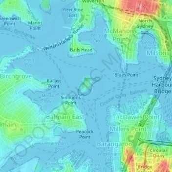
Name: Goat Island topographic map, elevation, terrain.
Average elevation: 43 ft
Minimum elevation: -7 ft
Maximum elevation: 299 ft
Make a donation
Gear up for your next adventure:
As an Amazon Associate, this site earns from qualifying purchases at no extra cost to you.