Geolocate

Gangga topographic map

Click on the map to display elevation.

About this map

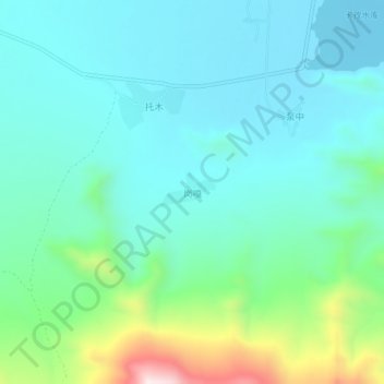
Name: Gangga topographic map, elevation, terrain.

Location: Gangga, Lhasa, Tibet, China (29.86176 91.12667 29.90176 91.16667)

Average elevation: 12,887 ft

Minimum elevation: 12,461 ft

Maximum elevation: 14,472 ft

Gear up for your next adventure:

🧤Hiking Gloves - Protective gloves for rugged trails
🩳Quick‑Dry Hiking Shorts - Comfortable and quick‑dry shorts for summer hiking
🪶Fire Starter Kit - Reliable fire starter for survival and camping
🥘Titanium Cookware - Durable, featherlight pots and pans for backpacking
Backpacking Tents - Weight-optimized shelters for multi-day topographic surveys

As an Amazon Associate, this site earns from qualifying purchases at no extra cost to you.