Geolocate

Bracon Ash topographic map

Click on the map to display elevation.

About this map

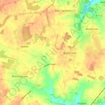
Name: Bracon Ash topographic map, elevation, terrain.

Location: Bracon Ash, South Norfolk, Norfolk, England, United Kingdom (52.53635 1.15953 52.57016 1.23900)

Average elevation: 144 ft

Minimum elevation: 66 ft

Maximum elevation: 184 ft

Gear up for your next adventure:

🧭Map Reading Tools - Tools and kits for map navigation
🏫Relief Map Kits - Hands-on tools for teaching landforms and elevation
🦟Ultrasonic Repellers - Create a bug-free zone at your camp or rest stop
🪶LED Camping Lantern - Bright lantern for camp lighting
📷Action Camera - Capture your outdoor adventures in HD

As an Amazon Associate, this site earns from qualifying purchases at no extra cost to you.