
Thank you for supporting this site ❤️
Make a donation
Make a donation
Gear up for your next adventure:
As an Amazon Associate, this site earns from qualifying purchases at no extra cost to you.
Khanpur topographic map
Click on the map to display elevation.
Thank you for supporting this site ❤️
Make a donation
Make a donation
Gear up for your next adventure:
As an Amazon Associate, this site earns from qualifying purchases at no extra cost to you.
About this map
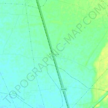
Name: Khanpur topographic map, elevation, terrain.
Location: Khanpur, Mukerian Tahsil, Hoshiarpur, Punjab, India (31.87248 75.61112 31.91248 75.65112)
Average elevation: 840 ft
Minimum elevation: 817 ft
Maximum elevation: 876 ft
Thank you for supporting this site ❤️
Make a donation
Make a donation
Gear up for your next adventure:
As an Amazon Associate, this site earns from qualifying purchases at no extra cost to you.