
Baner topographic map
Click on the map to display elevation.
About this map
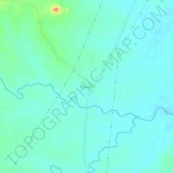
Name: Baner topographic map, elevation, terrain.
Location: Baner, Jayapatna, Kalahandi District, Odisha, 766018, India (19.51228 82.78870 19.55228 82.82870)
Average elevation: 804 ft
Minimum elevation: 768 ft
Maximum elevation: 968 ft