
Make a donation
Gear up for your next adventure:
As an Amazon Associate, this site earns from qualifying purchases at no extra cost to you.
Kapfenberg topographic map
Click on the map to display elevation.
Make a donation
Gear up for your next adventure:
As an Amazon Associate, this site earns from qualifying purchases at no extra cost to you.
About this map
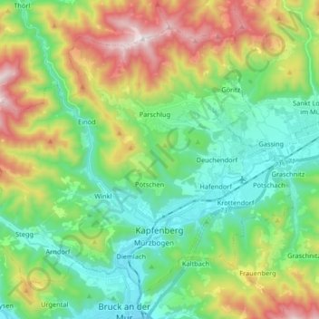
Name: Kapfenberg topographic map, elevation, terrain.
Location: Kapfenberg, Bezirk Bruck-Mürzzuschlag, Styria, 8605, Austria (47.41885 15.19567 47.51104 15.35882)
Average elevation: 2,615 ft
Minimum elevation: 1,552 ft
Maximum elevation: 4,816 ft
Make a donation
Gear up for your next adventure:
As an Amazon Associate, this site earns from qualifying purchases at no extra cost to you.
Other topographic maps
Click on a map to view its topography, its elevation and its terrain.
Hochlantsch
Austria > Styria > Bezirk Bruck-Mürzzuschlag > Breitenau am Hochlantsch
Average elevation: 4,029 ft
Make a donation
Gear up for your next adventure:
As an Amazon Associate, this site earns from qualifying purchases at no extra cost to you.