
Thank you for supporting this site ❤️
Make a donation
Make a donation
Gear up for your next adventure:
As an Amazon Associate, this site earns from qualifying purchases at no extra cost to you.
Ramankari topographic map
Click on the map to display elevation.
Thank you for supporting this site ❤️
Make a donation
Make a donation
Gear up for your next adventure:
As an Amazon Associate, this site earns from qualifying purchases at no extra cost to you.
About this map
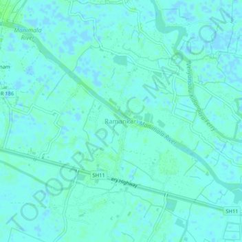
Name: Ramankari topographic map, elevation, terrain.
Location: Ramankari, Kuttanad, Alappuzha, Kerala, 689595, India (9.41331 76.44656 9.45331 76.48656)
Average elevation: 10 ft
Minimum elevation: -13 ft
Maximum elevation: 20 ft
Thank you for supporting this site ❤️
Make a donation
Make a donation
Gear up for your next adventure:
As an Amazon Associate, this site earns from qualifying purchases at no extra cost to you.