Geolocate

Dansa topographic map

Click on the map to display elevation.

About this map

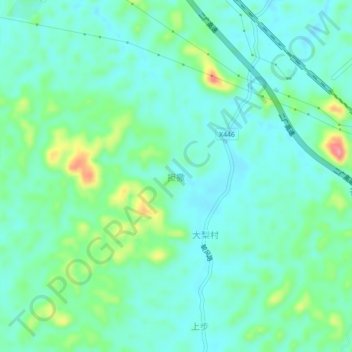
Name: Dansa topographic map, elevation, terrain.

Location: Dansa, Zhaoqing City, Guangdong Province, China (23.85097 112.13041 23.89097 112.17041)

Average elevation: 266 ft

Minimum elevation: 187 ft

Maximum elevation: 512 ft

Gear up for your next adventure:

🕶️Glacier Sunglasses - Side shields to protect eyes from high-altitude snow glare
👟Men's Trail Runners - Lightweight footwear for fast-paced exploration and light hiking
🧢Sun Protection Hats - Wide-brimmed and UPF-rated hats for high-altitude sun safety
🔌Solar Panel Charger - Charge gear sustainably outdoors
🛠️Outdoor Gear Repair Kit - Essential tools to fix gear on the trail

As an Amazon Associate, this site earns from qualifying purchases at no extra cost to you.