
Make a donation
Gear up for your next adventure:
As an Amazon Associate, this site earns from qualifying purchases at no extra cost to you.
Grand Ethiopian Renaissance Dam topographic map
Click on the map to display elevation.
Make a donation
Gear up for your next adventure:
As an Amazon Associate, this site earns from qualifying purchases at no extra cost to you.
Grand Ethiopian Renaissance Dam
Supporting the main dam and reservoir will be a curved and 4.9 km (3 mi) long and 50 m (164 ft) high rock-fill saddle dam. The ground level of the saddle dam is at an elevation of about 600 m (2,000 ft) above sea level. The surface of the saddle dam has a bituminous finish, to keep the interior of the dam dry. The saddle dam will be just 3.3–3.5 km (2–2 mi) away from the border with Sudan, it is much closer to the border than the main dam.
Make a donation
Gear up for your next adventure:
As an Amazon Associate, this site earns from qualifying purchases at no extra cost to you.
About this map
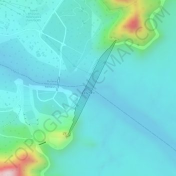
Name: Grand Ethiopian Renaissance Dam topographic map, elevation, terrain.
Average elevation: 1,821 ft
Minimum elevation: 1,621 ft
Maximum elevation: 2,805 ft
Make a donation
Gear up for your next adventure:
As an Amazon Associate, this site earns from qualifying purchases at no extra cost to you.
Other topographic maps
Click on a map to view its topography, its elevation and its terrain.