
Make a donation
Gear up for your next adventure:
As an Amazon Associate, this site earns from qualifying purchases at no extra cost to you.
Chandauli topographic map
Click on the map to display elevation.
Make a donation
Gear up for your next adventure:
As an Amazon Associate, this site earns from qualifying purchases at no extra cost to you.
Chandauli
Chandauli is located at 25°16′N 83°16′E / 25.27°N 83.27°E / 25.27; 83.27. It has an average elevation of 70 metres (230 ft). Located about 30 kilometers from Varanasi, it comes under Varanasi division of Uttar Pradesh. Mughalsarai, a major railway junction between northern and eastern India is located in Chandauli district. It is served by Chandauli Majhwar railway station.
Make a donation
Gear up for your next adventure:
As an Amazon Associate, this site earns from qualifying purchases at no extra cost to you.
About this map
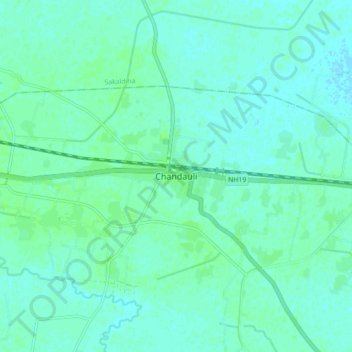
Name: Chandauli topographic map, elevation, terrain.
Location: Chandauli, Chandauli District, Uttar Pradesh, 232104, India (25.21927 83.22679 25.29927 83.30679)
Average elevation: 249 ft
Minimum elevation: 240 ft
Maximum elevation: 259 ft
Make a donation
Gear up for your next adventure:
As an Amazon Associate, this site earns from qualifying purchases at no extra cost to you.