
Mopane Dam topographic map
Interactive map
Click on the map to display elevation.
About this map
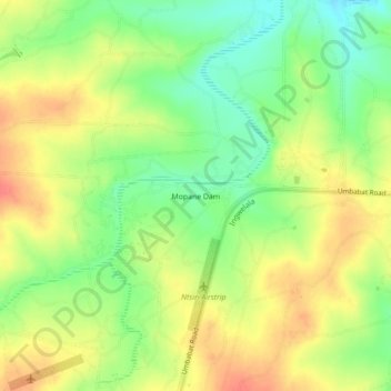
Name: Mopane Dam topographic map, elevation, terrain.
Average elevation: 1,106 ft
Minimum elevation: 1,014 ft
Maximum elevation: 1,194 ft
Other topographic maps
Click on a map to view its topography, its elevation and its terrain.
Satara Rest Camp
South Africa > Mpumalanga > Ehlanzeni District Municipality > Bushbuckridge
Satara Rest Camp, Bushbuckridge, Ehlanzeni District Municipality, Mpumalanga, South Africa
Average elevation: 879 ft