Geolocate

Karnack topographic map

Click on the map to display elevation.

About this map

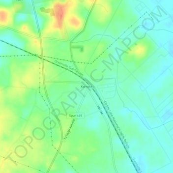
Name: Karnack topographic map, elevation, terrain.

Location: Karnack, Harrison County, Texas, 75661, United States (32.64792 -94.19047 32.68792 -94.15047)

Average elevation: 256 ft

Minimum elevation: 200 ft

Maximum elevation: 358 ft

Harrison County trails, hiking, mountain biking, running and outdoor activities

Other topographic maps

Click on a map to view its topography, its elevation and its terrain.

Waskom

United States > Texas > Harrison County

Average elevation: 272 ft

Hallsville

United States > Texas > Harrison County

Average elevation: 367 ft

Nesbitt

United States > Texas > Harrison County

Average elevation: 371 ft

Gear up for your next adventure:

🥤Water Filter Bottle - All‑in‑one filter bottle for safe hydration
🔦Powerful Headlamps - Ultra-bright hands-free lighting for night navigation
🧯Portable Fire Pit - Compact fire pit for camping spots
Camping Coffee Makers - Enjoy premium coffee at the summit or campsite
🔭Telescopic Hiking Pole - Adjustable pole for hiking stability

As an Amazon Associate, this site earns from qualifying purchases at no extra cost to you.