
Huancane topographic map
Click on the map to display elevation.
About this map
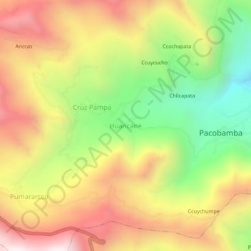
Name: Huancane topographic map, elevation, terrain.
Location: Huancane, Pacobamba, Andahuaylas, Apurímac, Perú (-13.63518 -73.12156 -13.59518 -73.08156)
Average elevation: 10,115 ft
Minimum elevation: 8,150 ft
Maximum elevation: 12,014 ft