Geolocate

Sacha Sacha topographic map

Click on the map to display elevation.

About this map

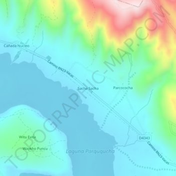
Name: Sacha Sacha topographic map, elevation, terrain.

Location: Sacha Sacha, Municipio Vacas, Arani, Cochabamba, Bolivia (-17.56365 -65.64523 -17.52365 -65.60523)

Average elevation: 11,506 ft

Minimum elevation: 11,178 ft

Maximum elevation: 12,769 ft

Gear up for your next adventure:

🪵Folding Camp Saw - Compact saw for wood and campsite work
🛶Inflatable Kayak - Portable kayak for rivers, lakes, and expeditions
🕶️Glacier Sunglasses - Side shields to protect eyes from high-altitude snow glare
🔥Camping Stove - Portable stove for camping and backcountry cooking
📶Satellite Messenger - Communication device off‑grid

As an Amazon Associate, this site earns from qualifying purchases at no extra cost to you.