Geolocate

Union topographic map

Click on the map to display elevation.

About this map

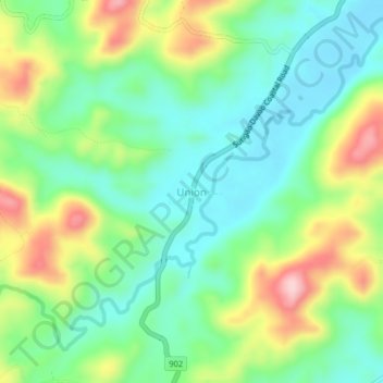
Name: Union topographic map, elevation, terrain.

Location: Union, Lingig, Surigao del Sur, Caraga, 8312, Philippines (7.96615 126.35329 8.00615 126.39329)

Average elevation: 269 ft

Minimum elevation: 10 ft

Maximum elevation: 758 ft

Gear up for your next adventure:

🗺️NatGeo Topo Maps - High-quality waterproof printed topographic maps of US Parks
🥩Freeze-Dried Meals - Nutritious and lightweight food for remote expeditions
🦶Carbon Trekking Poles - Reduce knee impact on steep descents with ultra-light poles
🧥Men's Rain Shells - Premium waterproof and breathable jackets for mountain weather
🧭Hiking Compass - Precision compass for reliable navigation in the wilderness

As an Amazon Associate, this site earns from qualifying purchases at no extra cost to you.