
大清河 topographic map
Interactive map
Click on the map to display elevation.
About this map
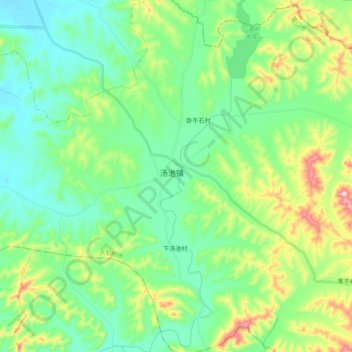
Name: 大清河 topographic map, elevation, terrain.
Location: 大清河, 大石桥市, 营口市, 辽宁省, 中国 (40.45165 122.59995 40.60211 122.67300)
Average elevation: 364 ft
Minimum elevation: 75 ft
Maximum elevation: 1,145 ft
Other topographic maps
Click on a map to view its topography, its elevation and its terrain.